The Virtual Geographer
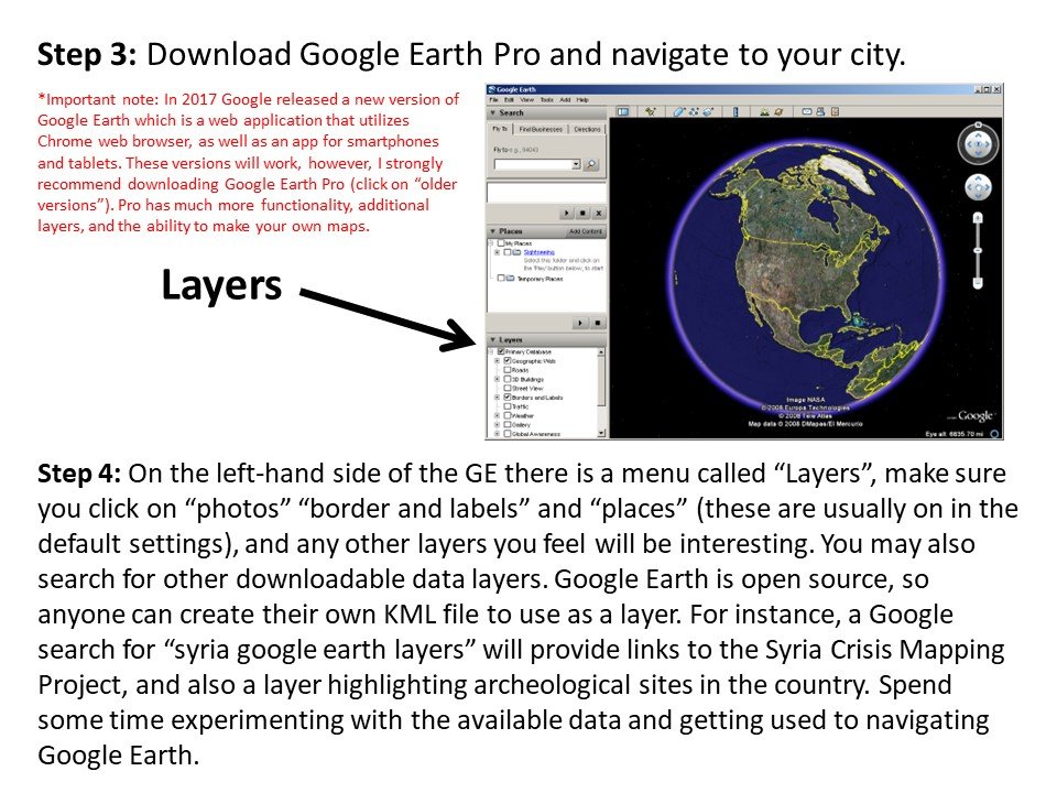
In 2010 I developed a term paper assignment for my World Regional Geography course at the University of Kansas called The Virtual Geographer. Google Earth, which began as a graduate research project for Google Exec Brian McClendon - a point of pride for us KU Geographers - had become an increasingly powerful digital mapping application, and one that I had began experimenting with in my classroom. Additionally, I had increasingly used Google Earth myself as a tool to learn about and navigate the world - I was using to plan hikes and bike rides, I was using it in my research and work in ecological restoration, and I was using it to prepare lessons for my classes. So I thought: why not give my students to keys, and let them explore in the way that a geographer would? Thus came about the idea of the Virtual Geographer (The Marvel Universe was kicking into gear coincident with this development in my pedagogy, so the Superhero theme seemed apt).
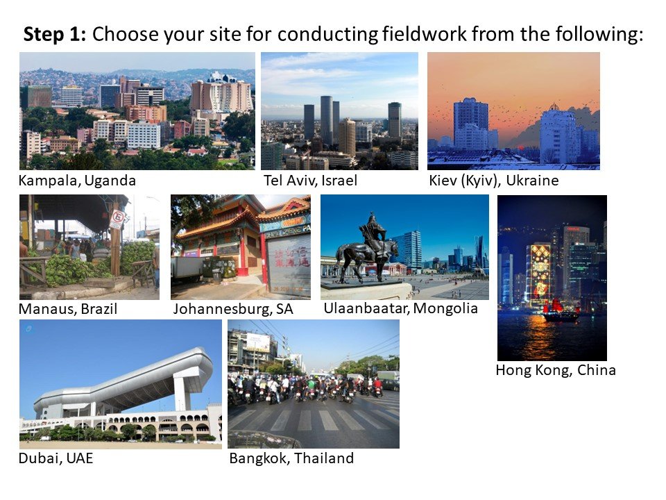
One of the main learning outcomes of the Virtual Geographer project is that students learn about bias and how it affects our geographical imaginations, and, our perceptions of other places and people. I direct students to choose a site for virtual fieldwork based on their lack of knowledge, rather than a desire to study a particular place based on a priori knowledge. This enables them to start from a place of relative ignorance, or, most often, vague generalizations and stereotypes based primarily on media, movies, videogames, and TV, and then progress through observation and inquiry to having a different understanding of the place and its people. Students must spend time unpacking their own biases and assumptions about a place, and, often, thinking critically about the lacunae that exists in their geographical imaginations - why is it that I don’t know anything about Mongolia besides Genghis Khan?
I emphasize that this is NOT a book report, and I DO NOT want them to use outside sources, unless their curiosity drives them to do so. My rule is “Let your observations guide your inquiries.” In other words, just explore! And, if you see something that is really interesting, do some internet searching and find out more information about it. However, that is not to say that assignment lacks scientific rigor - to the contrary, I emphasize that the students make observations, develop questions, and understand the information sources they see on Google Earth, and come to a conclusion based on their time spent making virtual observations. Freeing students from the traditional rigors of a research paper and giving them license to explore the world on their own terms (with guideposts and wayfinders in place) produces incredible results: I regularly receive term papers in excess of 20 pages! I see students performing spatial analysis on par with second-year grad students. Students discover a new social or environmental issue they weren’t aware of and passionately pursue outside of the classroom. I just really believe that the world is an incredible, amazing place, and if you just let people see and experience it for themselves, the teaching does itself. The Virtual Geographer really proves this idea.


